
Industries

Built for faster, safer first responses

Built for faster, safer first responses

A public safety drone platform for real-time situational awareness.

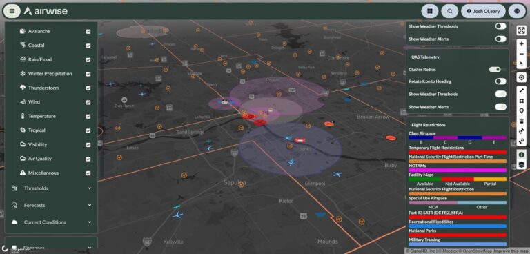
Public safety teams need software that works in the field. They need fast access to the airspace, live visibility, and tools that hold up under pressure. AirWise brings live video, shared operational awareness, and Unmanned Aircraft System (UAS) program management into one place.

This gives police, fire, EMS, and other first-response teams a better foundation for everyday missions and Drone as First Responder (DFR) operations. 

AirWise in the field

New York City Fire Department

New York City Fire Department (FDNY)

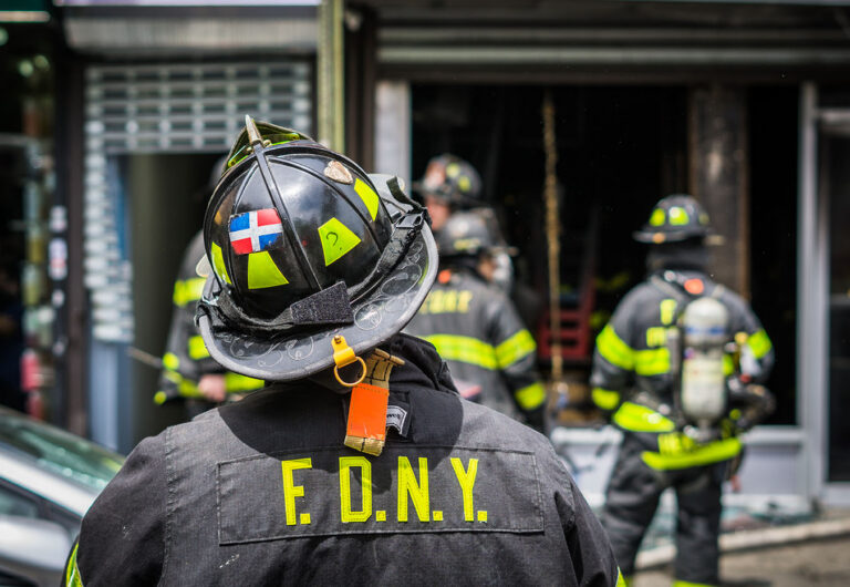
AirWise supports FDNY with interactive airspace maps, LAANC authorizations, NOTAM filing, parcel data lookup, and SGI access for closed airspace. This gives their fire team a clearer view before launch and a faster path to flight.
Read more
Washington State Patrol

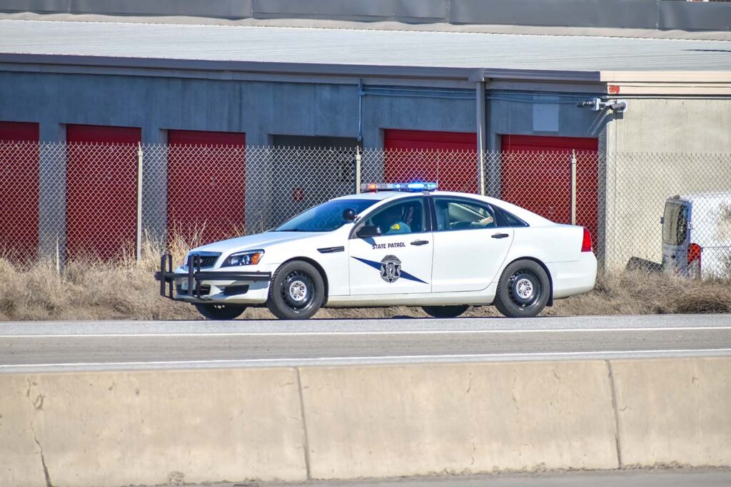
Washington State Patrol (WSP)

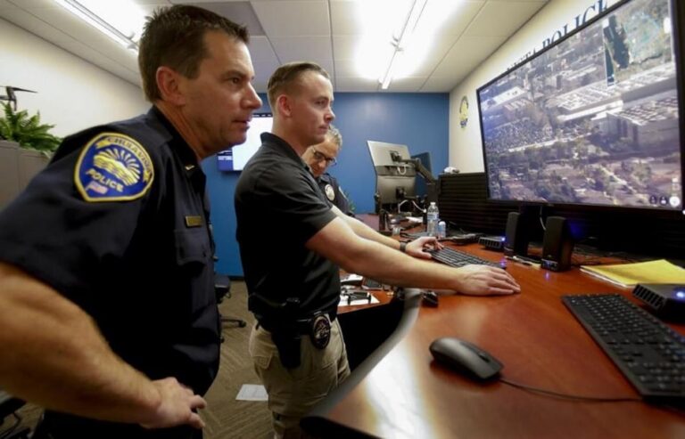
During a multi-month manhunt, WSP used AirWise to bring live aerial video and operational visibility to teams in the field. AirWise supported the operation with airspace and authorization tools, live streaming video, and a shared operating picture that helped improve coordination and close the search.
Read more
Tulsa Fire Department

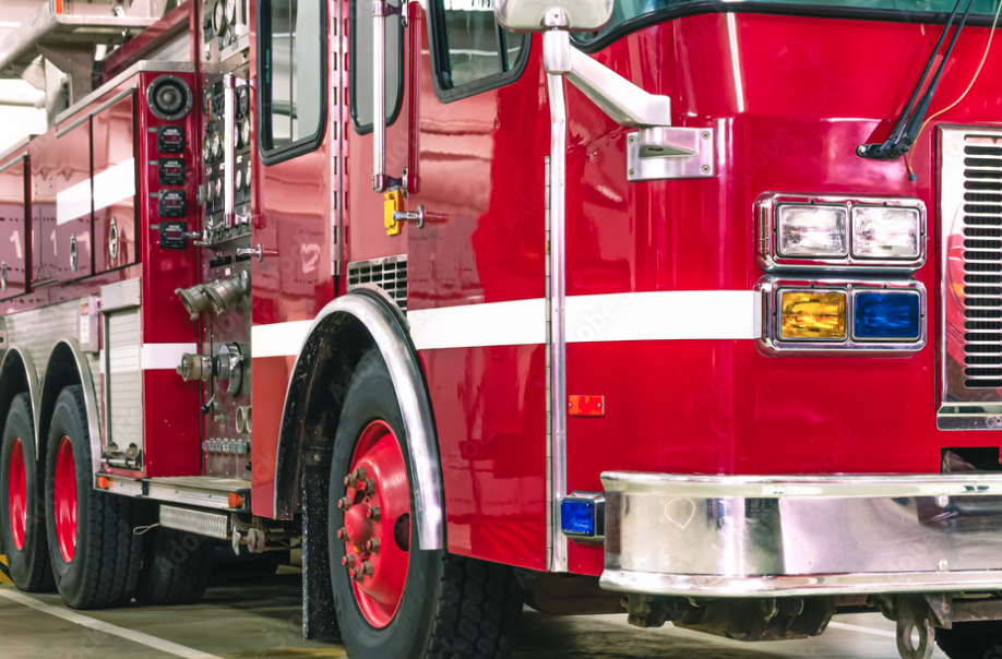
Tulsa Fire Department (TFD)

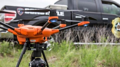
AirWise supports Tulsa Fire with airspace and authorization tools, live streaming video, and a common operating picture. During a Tulsa refinery fire, the platform helped coordinate drones and crewed aircraft across agencies, giving responders visibility of any threats that were not apparent from the ground.
Read more
Book a personalized one-hour demo

See how AirWise can elevate your drone operations.

Key Public Safety Benefits

Public safety operations move fast and carry real consequences. AirWise brings the airspace access, live visibility, and operational tools teams need into one platform. This gives teams a stronger foundation for faster response, safer operations, and more coordinated drone missions in the field. 

Access restricted airspace faster

AirWise helps public safety teams gain access to restricted or controlled airspace through streamlined FAA workflows, including SGI, LAANC, and related filings. This reduces friction in urgent situations and gives agencies a more reliable path to legal flight. 

Extend response beyond line of sight

The platform supports BVLOS operations through UTM-enabled workflows. This gives public safety teams a stronger path into DFR programs and earlier situational awareness before crews arrive on scene.

View the scene in real time

AirWise gives teams access to low-latency live video, telemetry, and critical data during active operations. This helps command staff, field personnel, and partner organizations to see what is happening as events unfold and make faster decisions with better visibility.

Run mixed fleets in one platform

AirWise supports a hardware-agnostic operating environment that brings different drones, sensors, and data sources into one system. This gives teams more flexibility to choose the right equipment for each mission without being locked into a single Original Equipment Manufacturer (OEM) stack.

Strengthen detection and response with cUAS

The platform helps teams track unauthorized drones using inputs like Remote ID, radar, RF, and optical systems. This gives public safety organizations better tools for monitoring, response, and airspace security. 

Coordinate with a shared operating picture

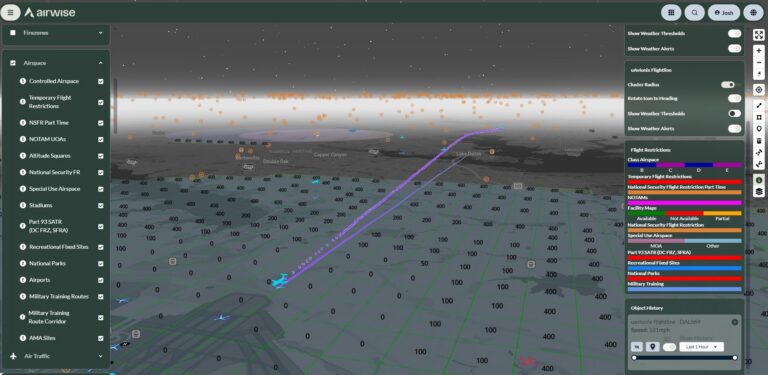
AirWise brings airspace awareness, aircraft positions, sensor feeds, and operational data into one common operating picture. This enables organizations to improve situational awareness while managing crewed and uncrewed activity with more confidence during complex incidents.

Built to connect to your tech stack

AirWise partnerships and integrations

AirWise News and Insights