





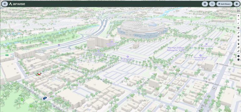
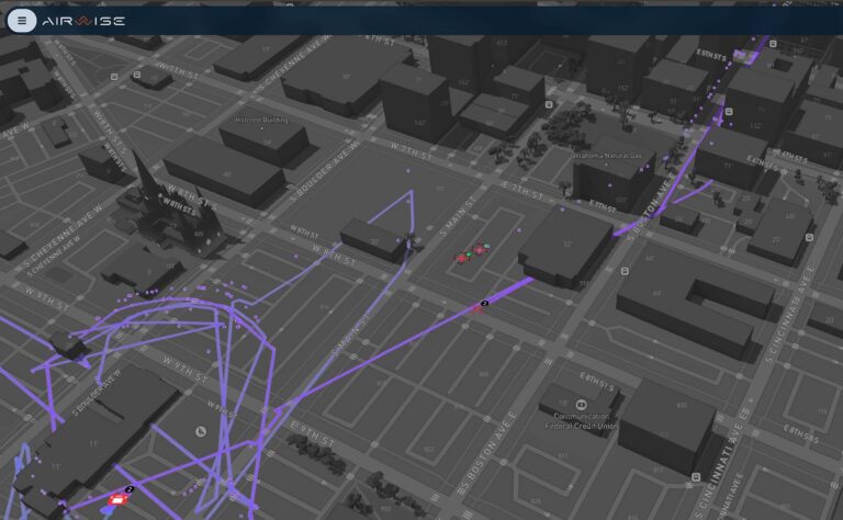
The platform brings flight logs, reporting, archived telemetry, photogrammetry, and analytics into one environment. This gives organizations stronger support for compliance, transparency, and long-term drone program management. Teams can now document what happened and get more value from every operation.
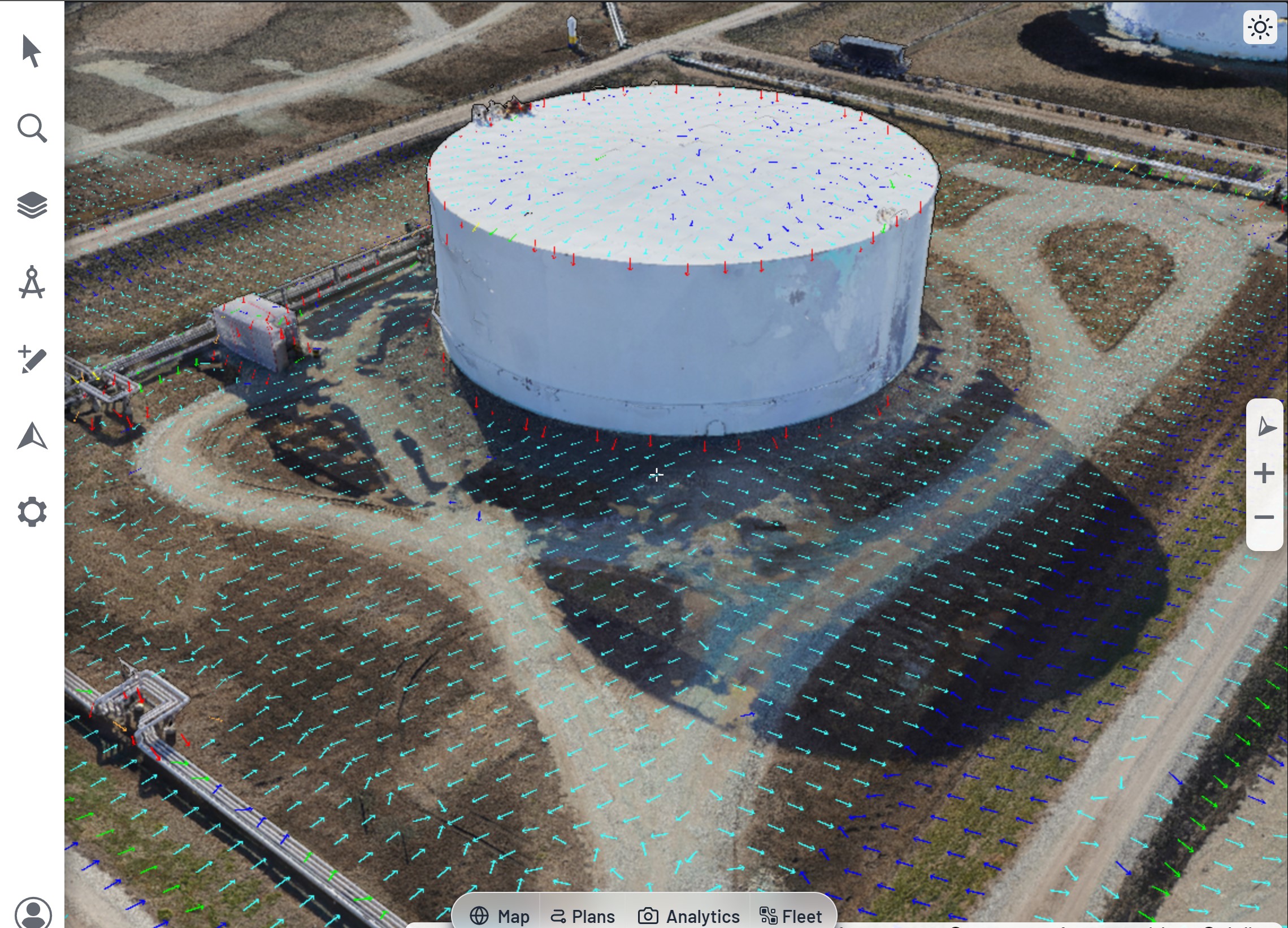
Airwise makes it easier to turn drone imagery into 3D models and 2D maps that teams can use for inspection, engineering, reporting, and reconstruction. This helps organizations get more value from each flight after the aircraft is back on the ground.
Flight logs help teams document what happened during an operation and show that flights were conducted within the right requirements. This is especially important for regulatory compliance, public transparency, and proving where a particular aircraft was operating during a mission.
Airwise helps teams keep track of pilot qualifications, aircraft registrations, flight hours, and maintenance schedules over time. This makes post-flight data more useful for day-to-day drone operations and long-term program management.
Post-Flight is where raw flight data becomes usable for records, reporting, and insight. Airwise brings the logs, models, analytics, and management tools teams need after every mission into one unified drone platform.
Enables AI applications to access structured flight, route, location, weather, and alert data through a secure interface. This helps teams ask plain-language questions about operations, uncover faster insight, and reduce manual analysis after a mission.
Creates flight logs automatically when aircraft are connected during flight, or after the fact when teams upload logs from the vehicle. This reduces pilot burden and improves record reliability for compliance and review.
Tracks when pilot certifications, licenses, and aircraft registrations need to be renewed. Teams can also upload and store those documents in the platform, keeping records in one place. This helps organizations keep pilots and aircraft current, legal, and ready for deployment.
Turns collected drone imagery into an intuitive workflow for building 3D models and 2D maps. This helps non-technical users create usable outputs for engineering, inspections, and reconstruction work.
Creates flight, pilot, and fleet reports that teams can review in-platform or export to their preferred analytics tools. This gives organizations a better way to prove compliance, show ROI, and monitor long-term program performance.
Keeps telemetry and flight records in one place so teams can review what happened after a mission. This supports compliance, transparency, and a clearer mission history over time.
Tracks pilot and aircraft hours to support maintenance, training, and fleet readiness. This helps teams know when service is due, when pilots are current, and how to stay ready for the next mission.
Access your Airwise products, tools, and operational data. Log in to continue to the platform associated with your account.