
Critical Infrastructure Drone Operations

Built for managing energy and utilities

Built for managing energy and utilities

A critical infrastructure drone platform for real-time situational awareness.

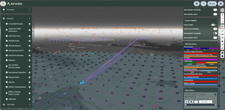
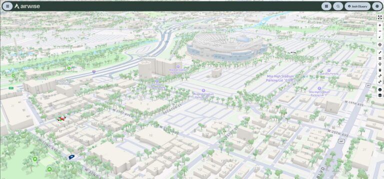
Energy and utility teams need software that works across large service areas and complex infrastructure. For more informed decision-making, AirWise allows for fast access to the airspace and real-time asset visibility. 

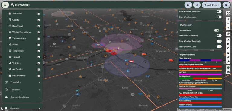
The platform is a common operating picture all within one environment. This helps teams respond faster and with more confidence during routine work and severe weather events. 

AirWise in the field

Southern California Edison

Southern California Edison

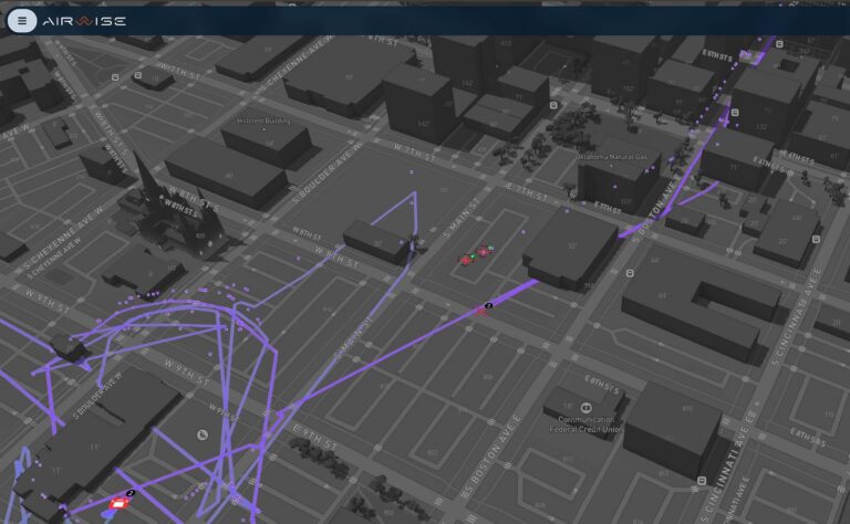
AirWise supports Southern California Edison with interactive airspace maps, LAANC authorizations, NOTAM filing, parcel data lookup, and SGI access for closed airspace. This gives their team a clearer view before launch and a faster path to flight.
Read more
B+T Group

B+T Group (DaaS)

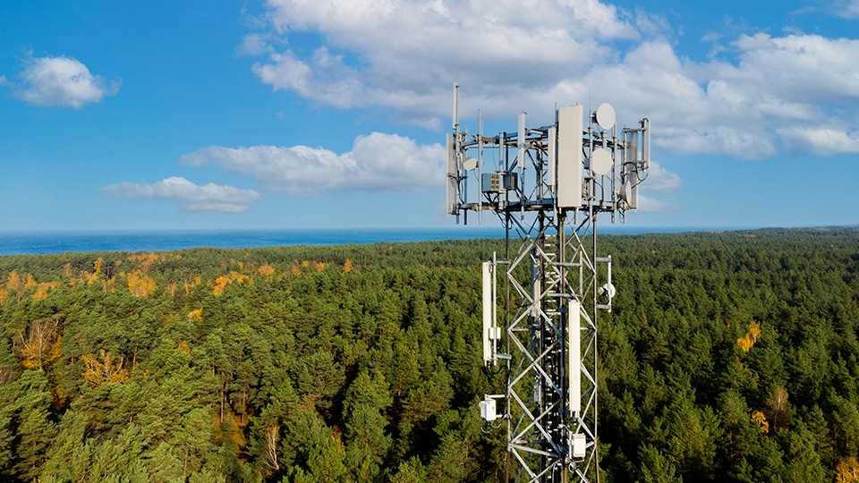
AirWise supports B+T group as they provide services to critical infrastructure in the telecom and energy space. B+T uses the full suite of AirWise products to manage their significant drone operation. The key components are the pilot/fleet management, the AirWise ticketing module for flight intent and key post flight analytics.
Read more
Book a personalized one-hour demo

See how AirWise can elevate your drone operations.

Key Critical Infrastructure Benefits

Critical infrastructure work demands clear visibility and fast decisions. AirWise combines airspace awareness, live operations, and asset intelligence in one environment. This helps energy and utility teams reduce tool sprawl while improving operational continuity. 

Access restricted airspace faster

AirWise helps energy and utility teams access airspace data and secure authorizations faster during routine operations and emergency responses. This reduces friction in the field while giving teams a more reliable path to legal flight during standard work and storm-driven events. 

Extend inspections beyond line of sight

The platform supports BVLOS operations through UTM-enabled workflows. This allows teams to conduct more efficient inspections, repairs, and maintenance across large service areas. 

Inspect assets in real time

AirWise gives teams access to low-latency live video, telemetry, and critical data during active operations. This helps remote experts, field teams, and decision-makers make better decisions without sending every specialist into the field. 

Build 3D models and 2D maps of critical assets

The platform helps teams create 3D models, 2D maps, and high-resolution visual records of infrastructure over time. This gives organizations a better way to support engineering, inspection, maintenance, and long-term asset management. 

Monitor assets with a shared operating picture

AirWise brings asset visibility, airspace awareness, and operational data into one common operating picture. This helps teams keep a closer watch on infrastructure and respond faster when conditions change.

Coordinate crewed and uncrewed aircraft safely

The platform helps teams coordinate crewed and uncrewed air assets in real time during inspections, maintenance, and emergency response. This improves situational awareness in the field while supporting safer operations across complex infrastructure environments. 

Built to connect to your tech stack

AirWise partnerships and integrations

AirWise News and Insights